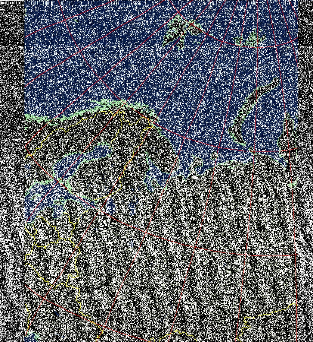
Today I captured my first satellite image with my SDR. It is a picture that was scanned by the NOAA 19 satellite (ch 1-4, northbound 10E) at 2021-3 -26 14:39 UTC. The pass took about 20 minutes.
Granted, the quality is not yet very good, but when you look carefully, in the middle left side you can see the northern part of Norway, a chunk of Sweden, and in the middle we see all of Finland. We also can see the Baltic states, Estonia, Latvia and Lithuania. Below Lithuania we see Balarus and a piece of the Ukraine, and the the left of that we have Poland.
Pretty amazing huh, with the very small dipole antenna that I have!